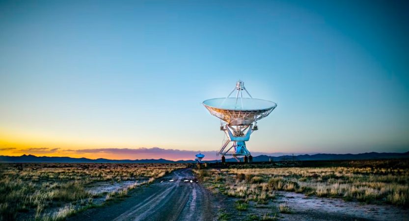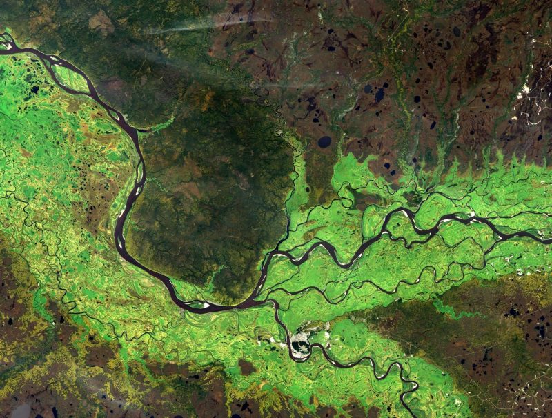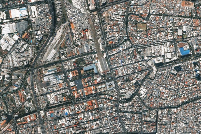
Satellite technologies significantly expand the capabilities of specialists in various industries. This technology is successfully developing and becoming more accessible. In the past, only government organizations could launch satellites. Today, many private companies also carry out satellite launches, which then provide satellite imagery and data to users worldwide. Tools for processing satellite images and extracting valuable information from them are also improving and becoming more accessible.
Remote sensing technologies provide humanity access to various information from the surface of our and other planets. For example, they can be used to monitor crop status and detect causes of wilting plants. Satellite data also allows you to monitor changes in global weather patterns, temperatures, glaciers, ocean currents, and more.
What is Satellite Imagery?

Satellite imagery results from a satellite or other high-flying aircraft scanning the Earth’s surface. The type of sensors that satellites are equipped with can be used for different purposes. Active sensors emit energy, making their use possible at any time of the year and under any weather conditions. As for passive sensors, they collect electromagnetic radiation from the Earth and the Sun but cannot work in the shade.
5 Industry Use Cases of Satellite Imagery
The use of satellite imagery brings many benefits to the area of service. The information obtained makes it possible to assess potential risks, make more effective decisions for the business, and production, and solve global problems.
Agriculture
Satellite monitoring in farming enables growers not to find out how to save a wilting plant but how to prevent it. Satellite imagery, combined with AI technologies, is a reliable tool for observing and detecting changes and problems associated with the condition of plants and soil. By obtaining information from images, farmers can take care of plant protection on time and save plants from wilting in heat or from the effects of cold stress.
Thus, time can be saved, and the number of necessary scouting operations can be reduced. Moreover, satellite monitoring enables farmers to make better decisions when it comes to planning and resource allocation.
Oil & Gas Industry
Satellite imagery solves many problems associated with production, transportation, storage, and emergency control in the oil industry. As far as oil exploration is concerned, with the help of satellite imagery and traditional methods of geology, companies obtain data for efficient exploration.
Oil spills have an extremely negative impact on the environment. Remote sensing technologies make it possible to detect spills effectively, assess the damage, and analyze the response of the ocean surface. Satellite imagery also makes it possible to track the speed and direction of the oil slick.
Urban Planning

Tracking urban growth and monitoring land use with satellite imagery is nothing new. However, remote sensing has also begun to use an innovative approach for urban planning. Using high-resolution imagery and big data makes it possible to collect accurate information while reducing costs quickly. In this way, you can get a complete picture of the landscape and its details, even in a massive area of a growing city.
Real Estate
Satellite technology provides the real estate industry with important landscape and community data. In addition, high-quality imagery provides comprehensive information about the location of various objects, including rivers, trees, parks, lawns, buildings, and roads in the selected area. The data obtained allows you to evaluate infrastructure, plan development, form real estate value, monitor new construction, and much more.
Transportation
Detailed and up-to-date maps of the area are essential for establishing logistics, no matter the type of transport involved. In maritime logistics, the team also needs data on wind speed, precipitation, obstacles, and storms. For truck drivers, information about road repairs, traffic jams, and accidents is a priority to choose the most favorable and reliable route. Satellite imagery provides a wealth of valuable data that can be used to optimize supply chains effectively.
Satellite imagery continues gaining new uses as technology advances and becomes more accessible to different users. So whether you want to discover a wilting plant and prevent crop loss, extract oil, establish supply chains, or build a building, satellite data comes in handy. The resulting data allows you to make more informed and effective decisions.

Taylor is a freelance SEO copywriter and blogger. His areas of expertise include technology, pop culture, and marketing.


